
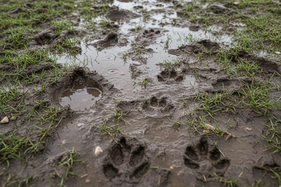
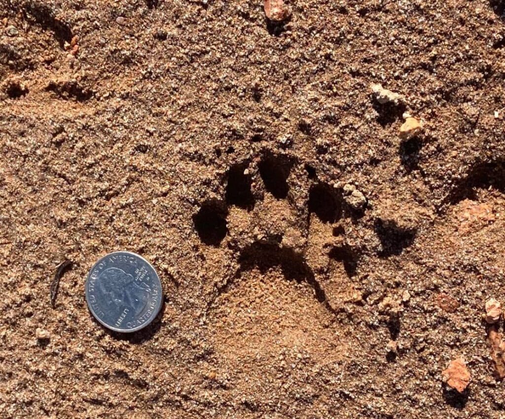
1. Tracks as “Nature’s Breadcrumbs”
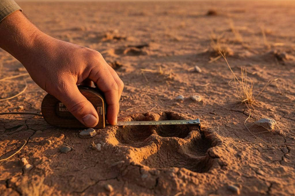
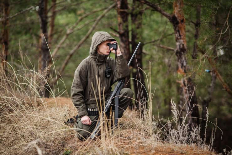
Early humans, hunter-gatherers in particular, used animal footprints and signs like broken twigs, scat, or bent grass as natural clues about where animals had passed. By following these signs, they could trace the movements of prey animals across landscapes. Skilled trackers learned to read these signs much like reading a map: the shape, size, and direction of tracks told them which species had passed by, how recently, and where they were heading.
2. Finding Water and Resources by Following Animal Trails
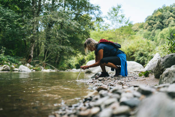
In many regions, especially arid or semi-arid lands, animals naturally gravitated toward water sources. By noticing repeated tracks and worn paths in the soil or sand, early people could infer the presence of water, edible plants, or shelter nearby. In that way, animal trails worked as natural guides to survival essentials long before human-made signage or written maps existed. This skill was especially valuable where surface water was scarce.
3. Choosing Safer Routes Through Challenging Terrain
Watching how animals moved across the land helped humans pick safer routes. Animals, tuned by instinct for ease and safety, often preferred paths of least resistance: avoiding thick undergrowth, steep slopes, or rocky ground. By following these paths, humans could traverse difficult terrain more safely and efficiently. Over time, these frequently used tracks became established routes, natural highways shaped by wildlife before people moved along them too.
4. Learning Animal Behavior and Anticipating Movements
Beyond just footprints, trackers paid attention to other signs, like scat, broken branches, or disturbed vegetation, to understand animal behavior. This helped predict where animals might go next: for instance, toward water, feeding grounds, or shelter. For early humans dependent on hunting or avoiding predators, being able to anticipate animal movement was a vital skill that helped with planning excursions, hunting, or migrations.
5. Passing Down Knowledge Across Generations
The ability to read animal tracks was not just an individual skill, it became communal knowledge passed down through generations. Across many indigenous and tribal societies, elders taught younger members how to interpret spoor, read the land, and navigate using these cues. Through this oral tradition, entire populations learned to travel vast distances, follow seasonal migrations, and survive in varied environments long before written maps or navigation tools existed.
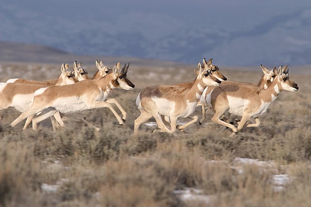
6. Trails Formed Long Before Human Roads
Many of the world’s earliest roads began as animal paths. Hoofed animals such as deer, bison, and antelope tended to travel in repeating patterns, creating narrow corridors through grasslands and forests. Early humans noticed these worn routes and began using them for their own travel, eventually widening them into communal paths. Archaeologists suggest that some ancient trade routes and footpaths, especially in Europe and parts of Asia, trace their origins back to these repeated animal movements. Because animals naturally select the easiest terrain, their paths often became the most efficient human routes as well.
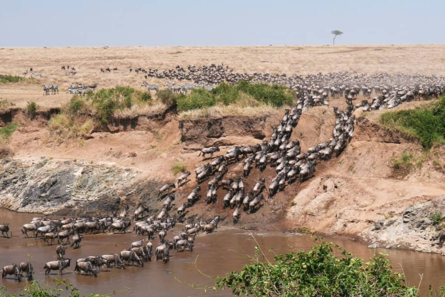
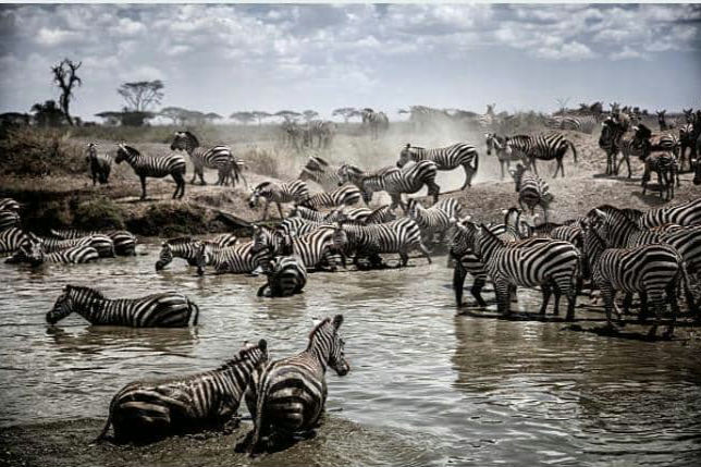
7. Following Migration Routes to Predict Seasons
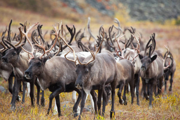
Seasonal migrations, such as those of caribou, wildebeest, or reindeer, created predictable patterns in the landscape. Early humans who lived alongside these species learned to use their hoofprints, droppings, and worn trails as cues for seasonal timing. When animals moved in great numbers, their tracks indicated seasonal changes in temperature, rainfall, or plant life. This helped communities plan hunting seasons, gather food, or relocate before harsh weather set in. Following these migration tracks formed an early calendar long before written systems existed.
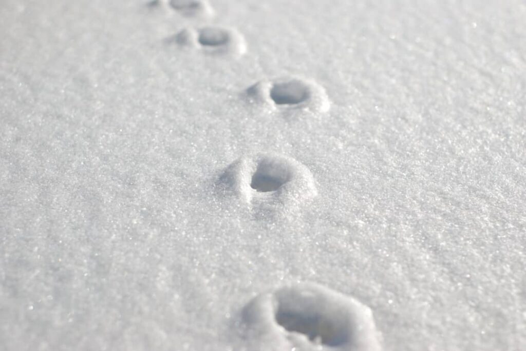
8. Reading Snow and Sand Like a Map
In snowy regions, hunters such as the Inuit and Sámi used tracks pressed into fresh snow to understand direction, distance, and speed. The crispness or softness of a track could reveal how recently the animal passed, helping determine whether to follow. Similarly, desert communities could read prints in sand, where even slight changes in wind direction or dune movement affected the visibility of spoor. Being able to interpret these delicate patterns allowed people to travel thousands of miles across visually repetitive terrains while staying oriented.
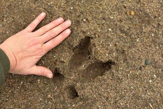
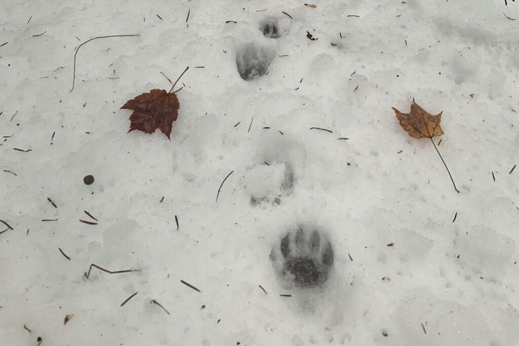
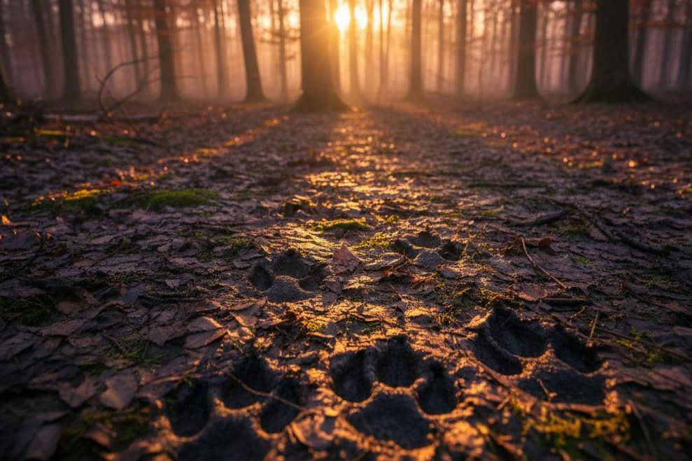
9. Tracking Predators to Avoid Danger
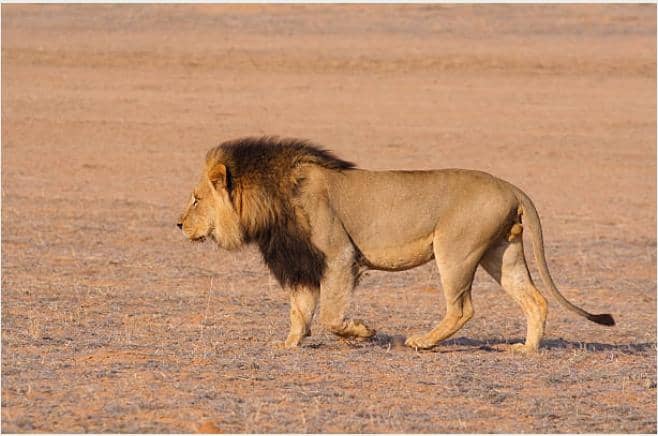
Animal tracks weren’t only used for locating prey, they also served as early warning signs. Large predators like lions, wolves, or bears left distinct footprints that knowledgeable trackers could identify quickly. By noting stride length, depth, and direction, early humans could determine whether a predator was hunting, resting, or passing through. This helped families choose safer campsites, avoid risky areas, or stay alert when fresh tracks suggested a predator was nearby. Understanding predator spoor became a fundamental survival tactic in many early cultures.
10. Using Track Patterns to Mark Territory
Some early human groups used repeated animal tracks to define natural boundaries or gathering points. When herds frequently crossed a specific valley, riverbank, or ridge, the area often became a convenient landmark for human travel or meeting spots. Over generations, these areas took on cultural meaning, becoming known places for trade, rituals, or seasonal gatherings. In this way, animal movements indirectly shaped how early humans organized space, memory, and community identity within the landscape.
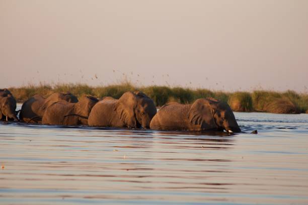
11. Discovering Hidden Waterholes Through Track Clusters
In many dry regions, sudden clusters of tracks from different species often signaled the presence of a hidden water source. Antelope, elephants, birds, and smaller mammals might all converge on the same spot, leaving a dense pattern of prints that pointed toward moisture underground or a small pool hidden by vegetation. Early humans learned to read these converging paths like arrows leading to life-saving water. This was especially important in deserts such as the Kalahari, where San hunters became experts at recognizing the subtle signs that animals were funneling toward a specific location.
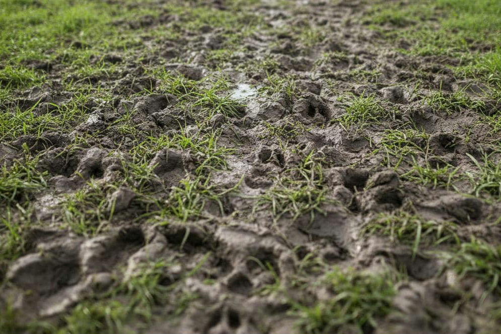
12. Understanding Terrain Stability by Animal Footfalls
Footprints also gave early people important information about the ground itself. When animals repeatedly used a route, it suggested that the terrain was stable, not prone to sudden sinkholes, mud traps, or unstable surfaces. Watching how deep hooves sank into mud or sand helped humans estimate whether the land ahead was safe for travel. In wet or marshy regions, people often avoided areas where heavy animals struggled, instead choosing firmer paths suggested by lighter species’ tracks. This helped prevent accidents and guided safer movement through unpredictable terrain.
13. Recognizing Seasonal Food Availability Through Browsing Signs
Animal tracks near fruiting trees, berry patches, or grazing fields helped humans locate edible plants. By watching where animals paused, pawed, or clustered, early foragers could learn which areas were rich in seasonal foods. Fresh tracks around nut-bearing trees or root-rich soil told people when certain plants were at their peak. This connection between animal movement and plant cycles allowed communities to expand their food sources without needing detailed botanical knowledge of every area they passed through.
14. Following Bird Footprints Along Shorelines

Along coasts and riverbanks, human travelers used bird tracks, especially those of wading species, to identify safe shoreline passages and shallow water crossings. Birds tend to follow reliable feeding grounds affected by tides and freshwater flow. Their footprints showed where mudflats were firm enough to walk on or where the shoreline curved safely around obstacles. For fishing communities, the presence and direction of bird tracks also indicated where fish were schooling, helping guide daily travel and resource gathering.
15. Learning Direction from Track Shadows and Sun Angles
Before compasses, some trackers used the shadows cast by tracks to help estimate direction. Since the angle of the sun changes throughout the day, skilled observers could study the way footprints were illuminated to determine approximate orientation. This was especially useful on open plains where landmarks were scarce. Combined with the direction of animal travel, which often followed predictable routes like toward water or grazing areas, early humans gained a simple but effective navigation tool built entirely from the interplay of light and footprints.
16. Using Spoor to Track Weather Changes

Animal tracks react quickly to weather, and early humans learned to read these subtle differences to navigate changing conditions. Rain could blur or fill in fresh prints, wind could sweep sand across them, and frost could harden older tracks. By noting whether spoor was crisp, smudged, or partially erased, people could estimate how recently animals had passed and what the weather had done to the landscape. This helped travelers judge how far ahead a herd might be or whether a storm was approaching, allowing them to choose safer routes or find shelter in time.
17. Footprints as Clues to River Crossings
Many animals rely on the safest, shallowest points of a river when crossing, and their repeated use of these areas leaves clear entry and exit tracks. Early humans used these markers to locate dependable crossing points long before bridges existed. Hoofprints at the water’s edge, trampled mud, or paired tracks on opposite banks showed where animals successfully crossed. Since animals instinctively avoid deep or fast-flowing sections, these natural fords became essential navigation aids for migrating families, traders, and hunters moving across unfamiliar river systems.
18. Learning the Landscape Through Predator–Prey Interactions
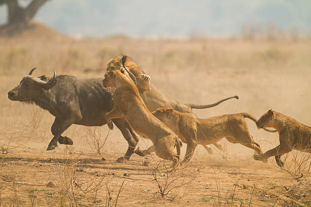
Signs of chase scenes, scattered tracks, sudden turns, or deep impressions where an animal leaped, helped early humans understand the dynamics of an ecosystem. By studying where predators ambushed prey or where prey tried to escape, people learned which areas were dangerous, which were open enough for travel, and which offered cover. These interactions revealed hunting corridors that predators relied on, allowing humans to avoid them or use them strategically when seeking food. In this way, the struggle between predator and prey helped humans map the invisible patterns of their environment.
19. Identifying Landmarks by Repeated Animal Traffic
When certain animals followed the same routes for generations, the trails they carved often led to prominent natural landmarks like cliffs, large trees, salt licks, or sheltered valleys. Over time, humans used these landmarks as orientation points for long-distance travel. A distinctive rock formation or lone baobab tree reached by a consistent track became a mental waypoint. These animal-guided markers helped create some of the earliest mental maps passed through storytelling, helping people navigate vast territories with surprising precision.
20. Using Tracks to Time Hunts and Gatherings

For hunting communities, the freshness of tracks determined when to move, when to wait, or when to assemble a group. A set of warm, crisp prints meant animals were close, prompting hunters to follow immediately. Older, sun-dried tracks meant the herd had moved on, helping people conserve energy by not pursuing futile trails. Similarly, early gatherers used track timing to decide when animals were feeding on seasonal plants like roots or berries. These timing skills turned tracking into a planning system that shaped daily routines and seasonal migrations.
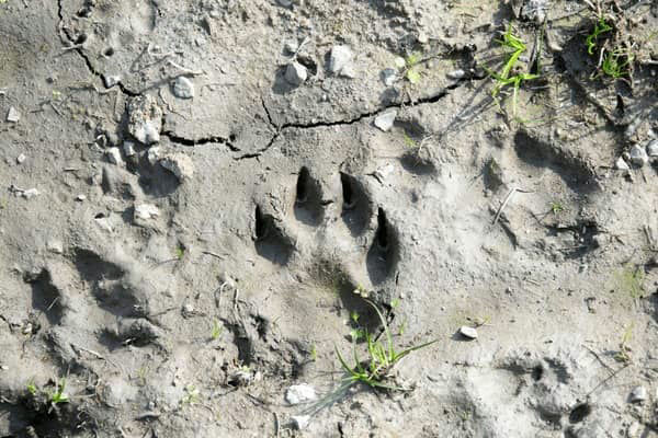
21. Using Track Depth to Judge Animal Strength and Health

Early trackers learned that the depth and spacing of footprints revealed crucial details about an animal’s condition. Deep tracks with uneven spacing often signaled an injured or exhausted animal, while lighter, evenly spaced prints suggested a healthy one. This information helped people decide whether to follow certain animals for food or avoid those likely to behave unpredictably, such as predators weakened by hunger. By reading these signs, humans gained insight into the broader health of wildlife populations, which in turn shaped where they traveled and how long they stayed in particular regions.
22. Navigating Dense Forests Through Ground Disturbance
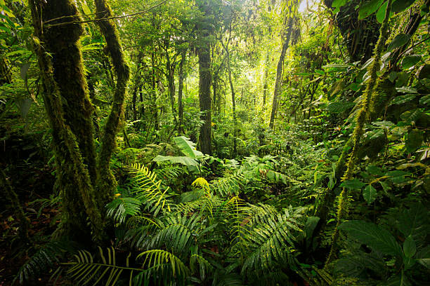
In thick forests where visibility was limited, animal tracks provided one of the few reliable ways to move through the landscape. Subtle signs, such as flattened leaf litter, broken ferns, or bark rubbed from tree trunks, acted as guides through areas where sunlight barely touched the forest floor. Deer, boar, and other mammals created winding paths that humans followed to find safe passages without getting lost. These trails allowed early travelers to slip through complex ecosystems quietly and efficiently while staying oriented.
23. Reading Bird and Small Mammal Patterns for Orientation
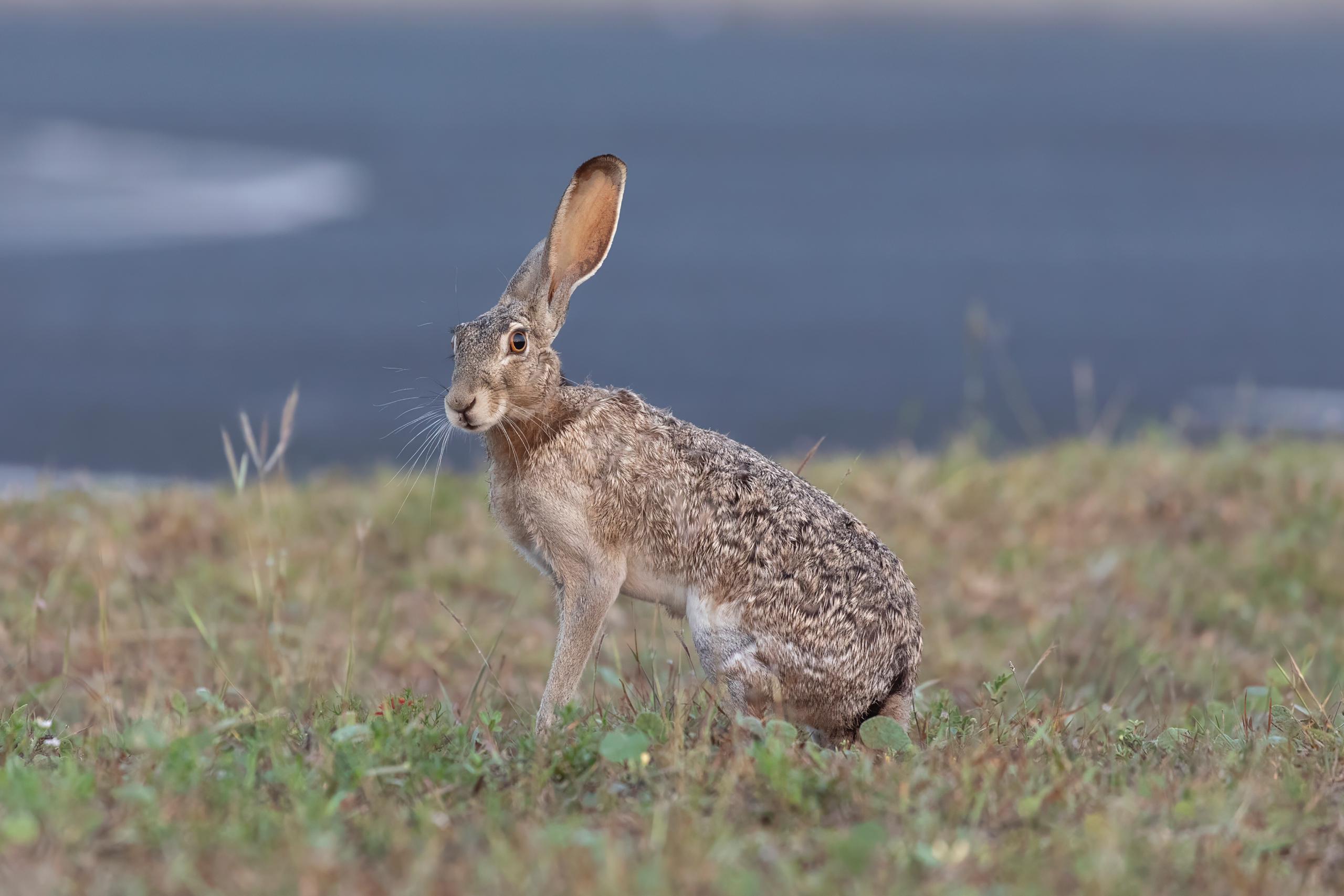
Not all helpful tracks came from large animals. Birds, rabbits, and other small mammals left footprints that pointed toward shelter, food, or open clearings. In snowy or muddy environments, these tiny prints acted as indicators of direction and terrain quality. For example, birds often hopped along routes leading to water or feeding areas, giving humans clues about surrounding resources. Small mammals also tended to avoid steep drops or unstable ground, making their trails useful for navigating lands where missteps could be dangerous.
24. Interpreting Track Overlaps to Understand Land Use
Overlapping tracks, where the prints of multiple species crossed or covered one another, told early humans how busy or significant a location was. Heavy overlaps near a valley might show it was a major travel corridor, while layered prints around a pond revealed how many species depended on that water source. These impressions helped people map out hotspots of activity, avoid congested predator zones, and identify reliable areas for hunting or gathering. In many cultures, such areas became seasonal meeting points or settlement sites.
25. Tracks Helping Shape Early Trade and Migration Routes
Before established road networks existed, many trade and migration routes followed pathways originally shaped by wildlife. Herd animals naturally traced the most efficient lines across mountains, plains, and river valleys, and humans adopted these routes because they offered easier travel. Over time, these paths became the foundations of early human migration patterns and long-distance trade networks. By relying on the instinctive movement of animals, humans created some of the earliest connective corridors between regions, shaping the flow of culture, goods, and ideas.
These natural clues shaped routes, influenced migration, and helped communities understand their environment long before written maps or technology existed. Even today, tracking continues to connect people to the land, reminding us how deeply human survival and exploration have always depended on paying attention to the world beneath our feet.
This story How Animal Tracks Once Helped Humans Navigate the World was first published on Daily FETCH


