
1. Government Disease Tracking Websites

Public health agencies like the CDC and USDA operate some of the most reliable bird flu tracking systems in the U.S., monitoring cases in birds, mammals, and humans. They compile data from state agencies, veterinary reports, and labs to provide an updated view of outbreaks. Global organizations like WHO and OIE offer interactive maps that track cases worldwide by species, severity, and location.
These sources are valuable for their lab-confirmed cases and official reports, though data can lag. For faster updates, pair them with local agriculture or wildlife departments. Frequent checks, especially during migration seasons or after poultry farm outbreaks, help pet owners and farmers stay informed about nearby risks.
Medical Source: Center for Disease Control
2. Interactive Outbreak Maps

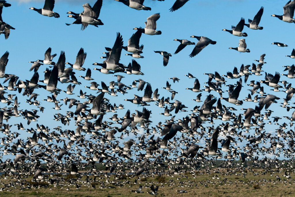
Independent organizations and universities have created interactive maps that visualize bird flu outbreaks in near real-time. These tools pull data from government sources, veterinary reports, and sometimes user-submitted cases, offering a broader and often faster view. Some use AI to predict where outbreaks might spread next based on bird migration and weather patterns, helping communities prepare in advance.
These maps are user-friendly, allowing people to zoom into regions, view confirmed cases, and track wild bird movements. Some platforms include crowd-sourced reports from farmers, wildlife experts, and birdwatchers, expanding coverage but occasionally including unverified data. Cross-checking with official sources ensures accuracy.
Medical Source: UC Davis
3. AI-Powered Disease Prediction Models

Advanced AI is transforming how scientists predict and monitor bird flu outbreaks. Machine learning models analyze data like bird migration patterns, weather, and past outbreaks to forecast where the virus might emerge next. These systems use satellite tracking, real-time climate data, and genetic sequencing to detect mutations that could raise transmission risks. Some even scan social media and news reports for early signs before official confirmation.
These tools help veterinarians, farmers, and pet owners anticipate local risks. AI can spot patterns human researchers might miss, such as subtle changes in bird flight paths. Still, no prediction is perfect, so combining AI forecasts with real-time maps and government reports offers the best protection.
Source: ScienceDirect
4. Citizen Science and Community Reporting Tools

As bird flu spreads through wildlife and domestic animals, citizen science has become a key part of monitoring. Apps and websites let birdwatchers, farmers, and pet owners report unusual bird deaths or suspected flu cases. Researchers use these reports to fill gaps in official data, and some platforms send alerts when nearby cases are reported.
Source: FrontierSin
Citizen science offers hyper-local information that government reports might miss, especially since not all wild bird deaths are tested. While these public reports aren’t always confirmed, they serve as early warnings. For the best protection, check real-time outbreak maps, follow updates from the CDC or your local agriculture department, and consider joining a citizen science platform to stay informed and report what you see.
Stay Updated Here: Centers for Disease Control (CDC)


